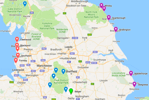
The locations for my ready-made cards (£2 each, plus £1 if postage is needed) are shown on the map. But – from Oban down to Bude – I’m always adding new places as I make more cards!
Please click Order Form if you would like to order a customised card, based on a specific UK location (these are £5, but extra cards the same are £2 each – the main work is capturing the images of the old maps). Or, if you prefer, you can leave the typography and colour scheme to me and just email the post code or street address.
Just a quick preview of some of the reservoir cards. Others in this series are Rudyard Water, Kinder Reservoir (1899) and Fernilee Reservoir in the Goyt Valley (1938). Finished in 1798, Rudyard Water is one of the oldest reservoirs in the country. It was constructed to feed the Caldon Canal, which is a Staffordshire branch of the Trent-Mersey Canal. I couldn’t find any maps from before the reservoir, but it made a nice card anyway as the 1950s map has the working railway, which is now a footpath.
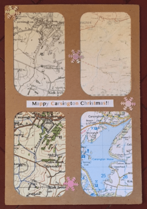
Carsington (constructed 1980s) is our local reservoir and a favourite place to walk, run or cycle.
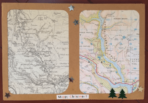
What a lot of us think of as Ladybower Reservoir in the Peak District is in fact three reservoirs: Howden (1901-12), Derwent (1902-14) and Ladybower (1935-43).
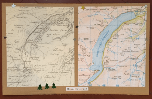
One problem with using my usual GrazeBox mounts for the reservoir maps is that they aren’t quite big enough to explore properly all the now-submerged hamlets on the 1890s maps, so I’ve upscaled on this card I made of Haweswater for my father who lives in the Lake District!
Dam construction began in 1929 and farms and houses were demolished. Bodies in the churchyard had to be exhumed and moved to Shap. The church was dismantled and the stone was used in the dam. There must be so many stories to tell with these reservoirs …

Hi Sal – these are amazing ! We’d love a good few of these in our house. Where can I see the full range ? Msg me on FB if that helps. Ta